Stream Profile
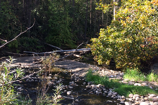
Mill Creek flows through south central Edmonton before entering the North Saskatchewan River. Named after a flourmill established in 1878 near the creek’s mouth, it enters Edmonton’s City limits through passing beneath Anthony Henday Drive. It eventually opens up into Mill Creek Ravine that offers scenic views and hiking opportunities within the bustling city of Edmonton. Sections of the creek are engineered underground to accommodate City infrastructure, and this includes the final section of the creek that enters the North Saskatchewan River through a raised culvert. The City of Edmonton is currently exploring the potential of resurfacing the north portion of the creek.
Access
Access at Mill Creek Ravine Park, Mill Creek Swimming Pool: 9555 84 Ave NW Edmonton. Turn onto 95A St NW and park at the Mill Creek Swimming Pool. Sample
at the bridge over Mill Creek.
GPS Coordinates at sampling location: 53.520047, -113.473965
Stream Profile
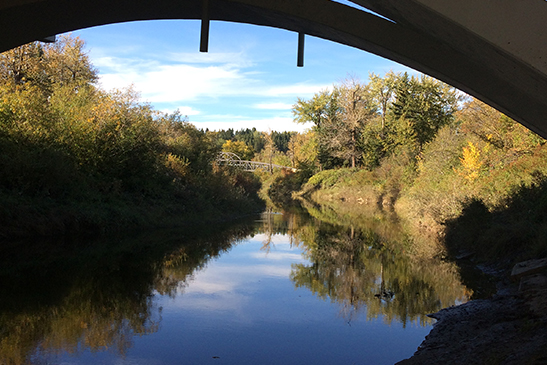
Whitemud Creek is a major tributary of the North Saskatchewan River and provides many vital terrestrial and aquatic ecological functions in the southwest portion of Edmonton. Whitemud Creek was named during the Palliser Expedition for the white coloured mud along the creek’s banks. The ravine provides ample opportunity for hiking and interactions with nature through old growth coniferous forests, deciduous and mixed wood forests, meadows, and riparian communities.
Access
Turn off of Fox Drive onto Keillor Rd, head WEST and park along the creek. Easy sampling access directly beneath Fox Drive bridge.
GPS Coordinates at sampling location: 53.505454, -113.561679
Stream Profile
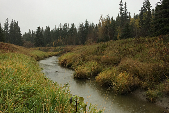
The headwaters of Blackmud Creek are located near the town of Nisku. It meanders north, crossing Highway 2 before entering the Edmonton city limits. Within the City limits, Blackmud Creek offers ample opportunities to enjoy nature through interactions made available at numerous urban parks. The eventual confluence is located in Mactaggart Sanctuary where it joins Whitemud Creek before traveling the final distance to the North Saskatchewan River.
Access
Access at Mactaggart Sanctuary, 13069 23 Ave NW, Edmonton. There is a parking lot off of 23 Ave NW, and a short 50m walk to the mouth of Blackmud Creek.
GPS Coordinates at sampling location: 53.454896, -113.546976
NOTE: If you cross the footbridge over Whitemud Creek at this location, you can collect a second sample of Whitemud Creek before it is joined by Blackmud Creek! Would be great to be able to compare both creeks on the same day!
Stream Profile
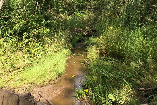
Wedgewood Creek enters the City limits in the southwest corner and travels 5 kilometers to the North Saskatchewan River. The steep ravine near the mouth offers great nature viewing opportunities with towering spruce trees, plenty of bird life, and a great view of the North Saskatchewan River once at the confluence.
Access
Access at Drydale Run NW where you will follow a pedestrian pathway down to the river.
GPS Coordinates at sampling location: 53.480750, -113.628739
Closest Navigable Address: 803 Drysdale Run NW
NOTE: You can park on Drysdale Run and access the ravine pathway beside the house at 803 Drysdale Run. From there, it is a 5 minute walk down the ravine to the mouth of the creek. Wear proper footwear for this site, as you may have to walk across a small portion of the creek. Sampling where the two streams meet in the ravine is recommended to avoid crossing the stream.
Stream Profile
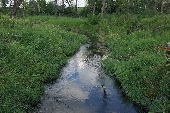
Oldman Creek exists just outside of the City limits, flowing out of Boag Lake just east of Sherwood Park. It meanders roughly 14km beginning in multiple subdivisions before opening up to farmland, and finally the community of Akenside as it heads north. There is limited access to Oldman Creek, as much of it is on private property and it is characterized with a steep ravines as it nears it’s confluence with the North Saskatchewan River.
Access
Access from the Yellowhead Hwy heading north on Hwy 21. Take the first left on to the Service Road and follow it to a dead end at Oldman Creek.
GPS Coordinates at sampling location: 53.570936, -113.250509
Stream Profile
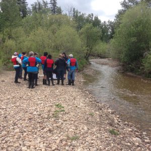
The mouth of Gold Bar Creek exists in a large park on the bank of the North Saskatchewan River. The area offers many walking trails and is a popular spot for bird watching and wildlife viewing. The creek received its name for the gravel bars at the mouth where early miners used to pan for gold.
Access
Access from the Gold Bar Park parking lot east of the Gold Bar Wastewater Treatment Plant. A short walk along the walking trails will take you to the sampling site.
GPS Coordinates at sampling location: 53.553126, -113.399779

Stream Profile
Fulton Creek has been labelled as one of Edmonton’s lost creeks. It originates in the southeastern section of Edmonton, flowing through the constructed wetland of Fulton Marsh before meandering through many underground culverts and collecting other sources of stormwater from both residential and industrial neighbourhoods. Due to the amount of diversion and management of the creeks, it tends to dry up late in the summer. It reaches it’s final destination at the North Saskatchewan River near the Capilano Bridge.
Access
Access the sampling location in the community of Maple Crest as it crosses Maple Road and enters Fulton Marsh.
GPS Coordinates at sampling location: 53.476538, -113.357635
