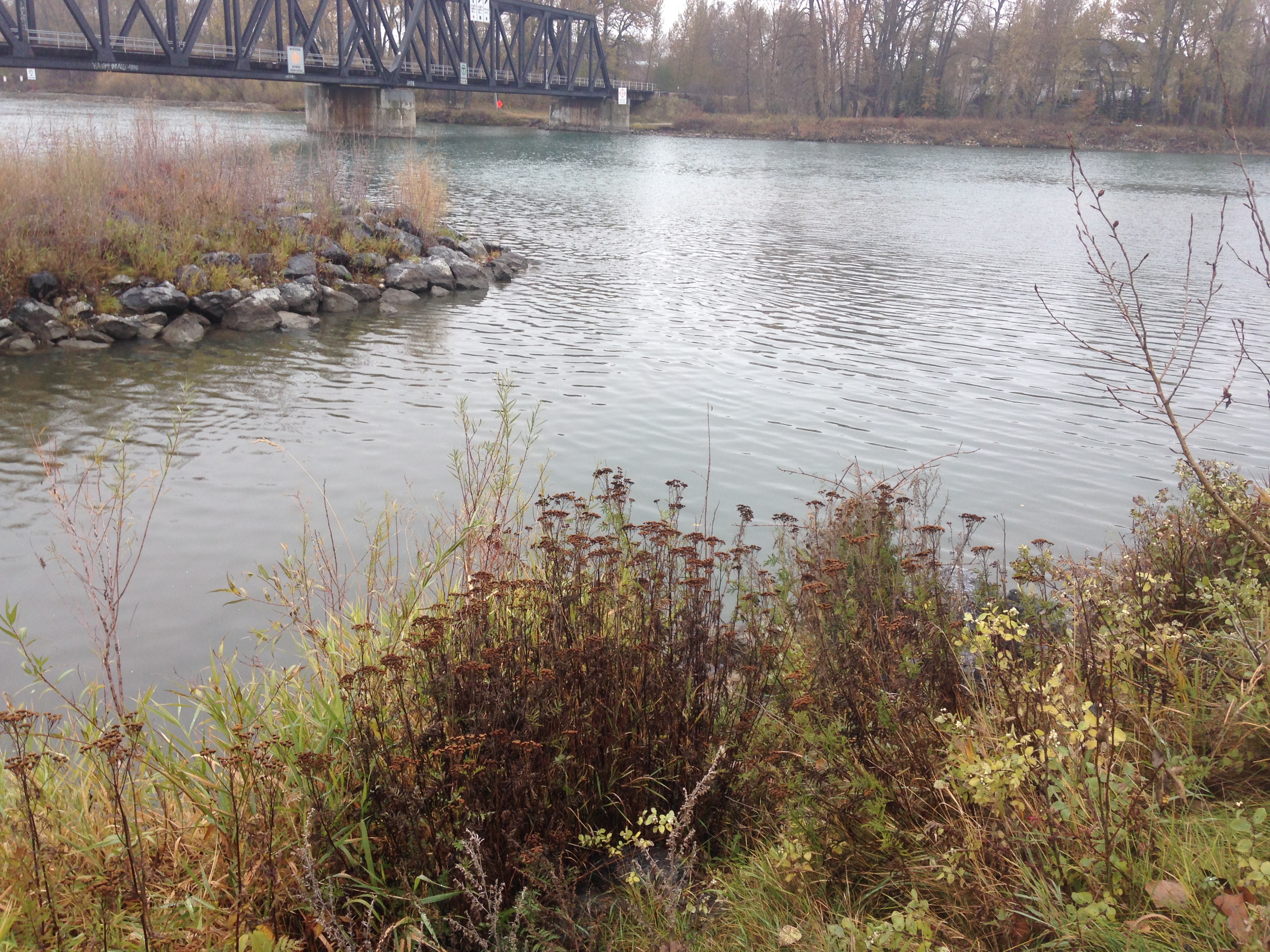
Stream Profile
Nose Creek’s headwaters extend all the way through the northern reaches of Rocky View County and into Mountain View County. Covering such a large geographical area at roughly 75KM in length, there are many different land uses that have the potential to impact the creek. The land coverage is primarily agricultural, with urban influences as it travels through the Town of Crossfield, and the cities of Airdrie and Calgary. It final stretch travels past the Calgary Zoo before reaching the Bow River.
Access
Located east of the Calgary Zoo. Access via a road between the zoo overflow parking and the Telus Spark, parking in the area beneath Memorial Dr bridge. Travel down the bike path to the mouth of the creek before it enters the Bow River. Find a safe location to collect samples, easily accessed below footbridge beneath Memorial Drive bridge.
GPS Coordinates at mouth: 51.044963, -114.019647
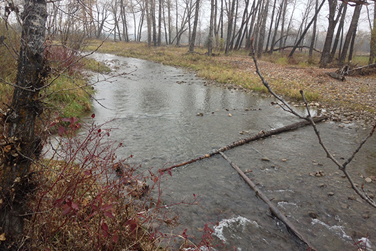
Stream Profile
Fish Creek originates in Kananaskis Country before traveling east through Tsuu T’ina First Nation and then ultimately reaching Calgary before entering the Bow River. The upper sections of Fish Creek are primarily forested, while the middle section is more agricultural and grassland coverage, and urban land use is more prominent near the creek mouth. The lower portion also receives stormwater discharge from the City of Calgary’s encompassing residential
neighborhoods. Within Calgary’s city limits, Fish Creek is popularly known as the largest urban park in Canada, stretching 19 kilometers from east to west. Offering a variety of trail networks for walking, biking, or hiking, the park offers an easily accessible urban resource.
Access
Located in Fish Creek Provincial Park, travel down the Bow Bottom Trail SE and after crossing a bridge over Fish Creek, turn left into Hull’s Wood parking lot. Walk down the pathway, sampling at the mouth of the creek before it enters the Bow River.
GPS Coordinates at mouth: 50.904326, -114.010253
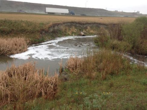
Stream Profile
West Nose Creek is a significant and permanent tributary to Nose Creek that drains a third of the entire Nose Creek Watershed. Originating in the northwestern portion of the watershed, it travels 65 kilometers before joining Nose Creek near the Calgary International Airport.
Access
Access at Nose Creek Parkway via Confluence Park. Parking at the end of Beddington Blvd NE and Beddington Trail NW. From parking, travel down the pathway towards Nose Creek before heading north on the Nose Creek Pathway. Cross the bridge over West Nose Creek and sample at the mouth.
NOTE
Great opportunity to collect two sets of data; West Nose Creek at mouth and Nose Creek before it reaches West Nose Creek!
GPS Coordinates at mouth: 51.130073, -114.047870
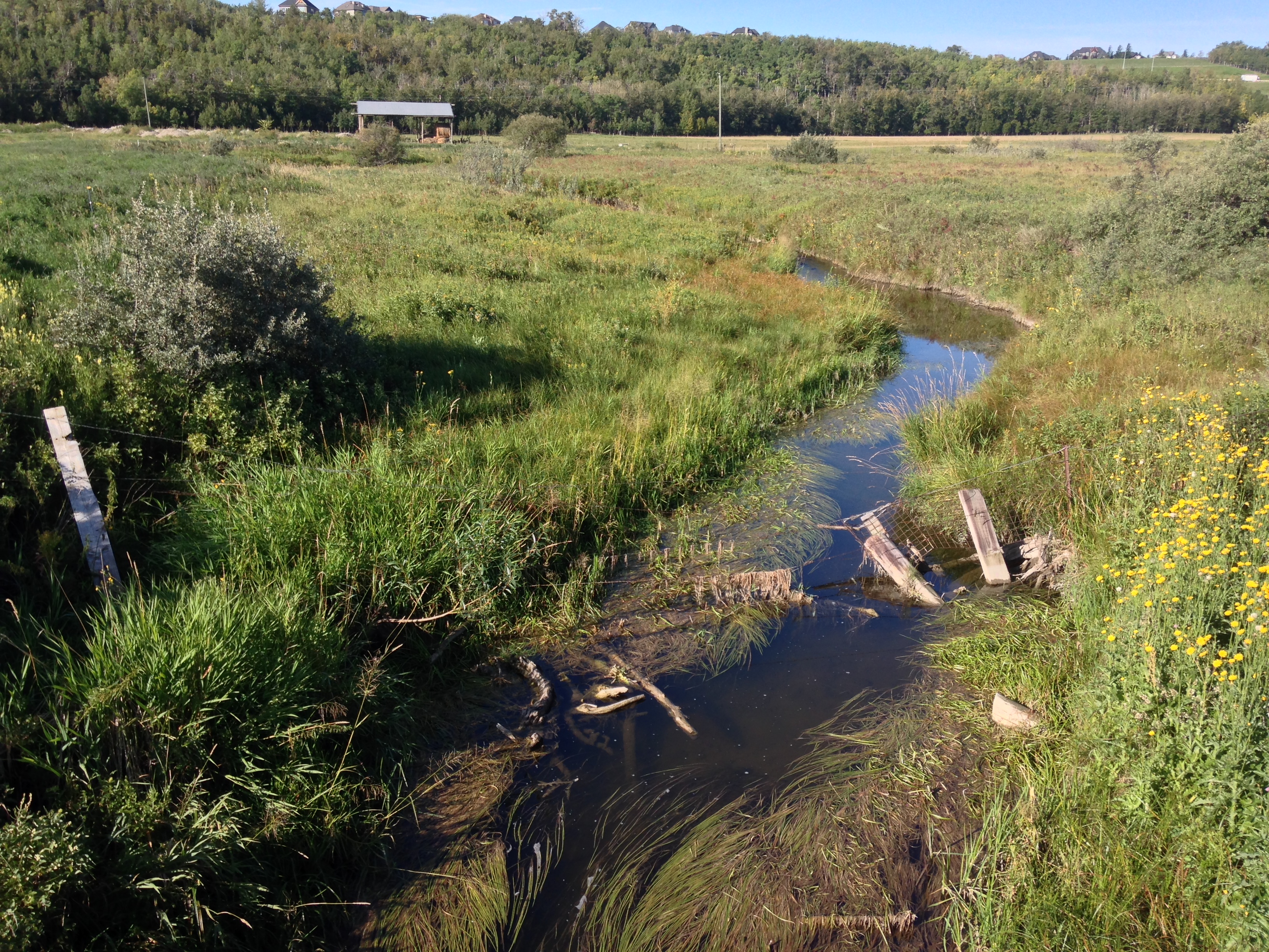
Stream Profile
Little is known about Pine Creek. Its headwaters extend west just south of Priddis into the foothills. It meanders its way towards its confluence at the Bow River passing through pastures, foothils, forests, golf courses, and the communities of Academy and Heritage Pointe. It is of special concern because there is relatively little data available on this creek.
Access
Head south of Calgary on the 2A, turning onto Dunbow Rd. Turn left towards Policemen’s Flats and travel down the road until you come to the bridge over the creek. You can pull off to the side of the road. Sample at this spot. It is a dead end, you will have to turn around and exit the same way (NOTE: can be a tricky turnoff to find, look for signs for Policemen’s Flats!)
GPS Coordinates at sampling location: 50.845036, -113.961926
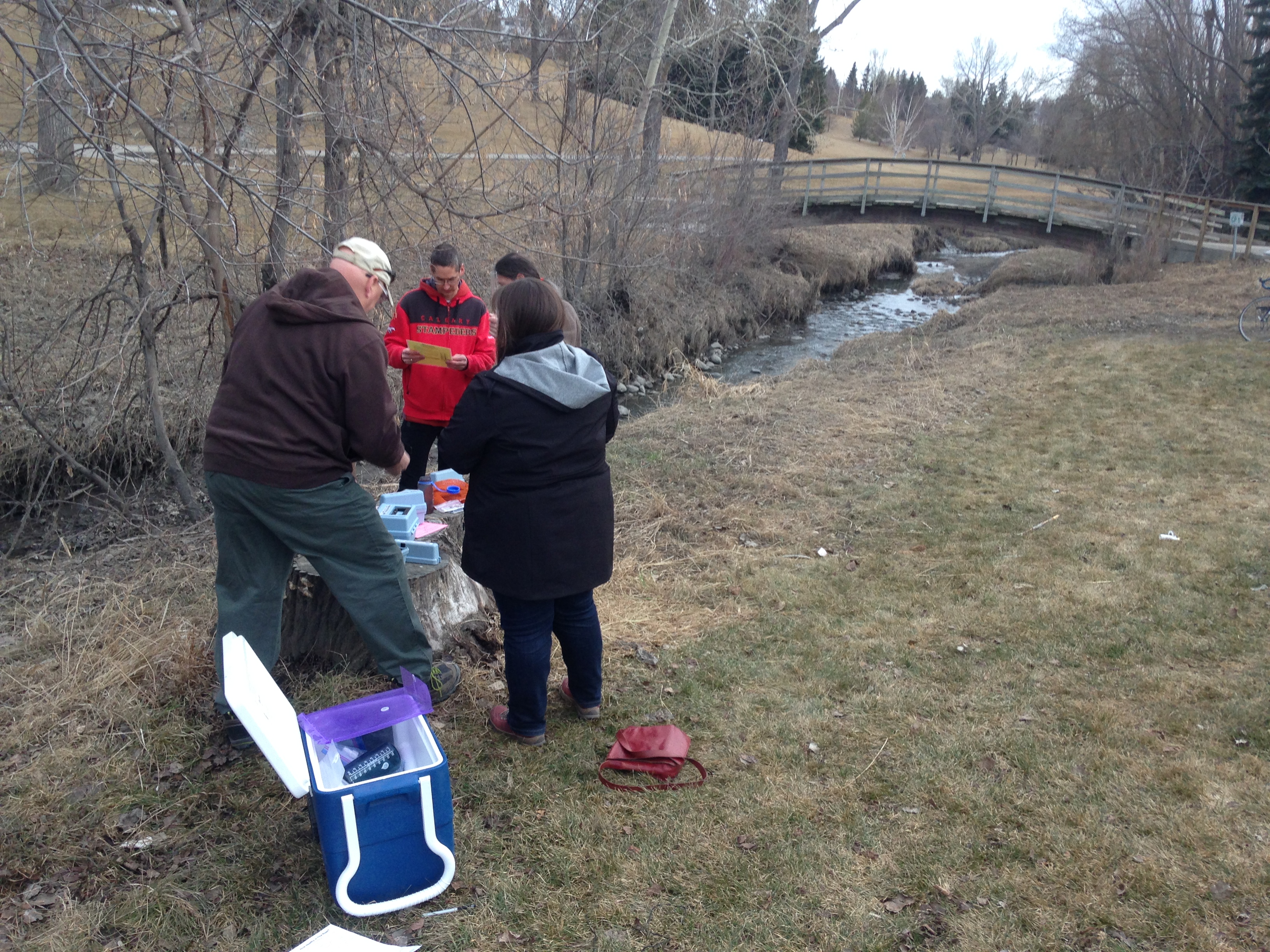
Stream Profile
Confederation Creek is an important tributary to Nose Creek, but is often labelled as a “stormwater creek”. The headwaters extend out from Nose Hill, and it acts as drainage for upstream developments that include residential and commercial lots, as well as a golf course. The final 1.5KM of the stream is buried underground, traveling beneath the community of Highland Park before its confluence with Nose Creek at outfall N25.
Access
Access Confederation Creek through Confederation Park at 905 30 Ave Northwest, Calgary.
GPS Coordinates at mouth: 51.079399, -114.079288
